home
***
CD-ROM
|
disk
|
FTP
|
other
***
search
/
Digital Atlas of Idaho
/
Digital Atlas of Idaho.iso
/
counties
/
boundary
/
geomap.gif
< prev
next >
Graphics Interchange Format
|
2002-11-05
|
44KB
|
499x451
|
8-bit (128 colors)
Labels:
text
|
map
|
screenshot
OCR:
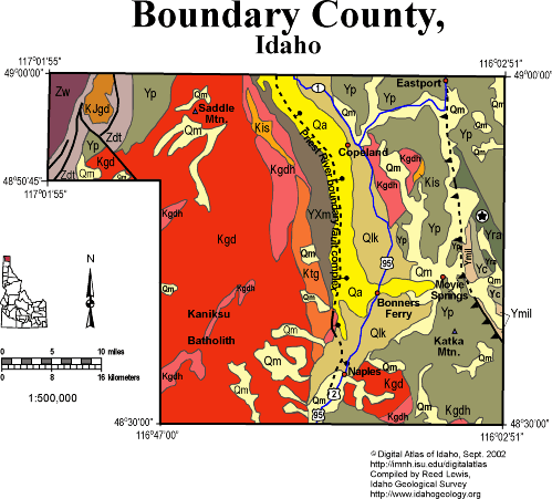
Boundary County, Idaho 117901'55* 4990000 116 02'51ª 1- 49 00'00 Zw Yp Yo Eastport? KK Jgd ASaddle Yp Mtn. Kis Zat Qm rest YP Yp Kgd Copeland River Kgdh 48 50'45 117901'55* Kgdh .Kis Kadh YXm Kod Qlk Yo Yp N Qml E Kto 195 Om YC Qa Movies Om Kaniksu Bonners Springs YC Ferry Yp Ymil Batholith Qlk 4 Katka 5 10 mllos Om Mtn. 16 kilometers Kach Naples Kgd 1:500,000 Om Kgdh Om Kgdh 48 30'00" 116º47 00" 48'30'00" 116 02'51" Digital Atlas of Idaho, Sept. 2002 http:/limnh.isu.edu digitalatlas Compiled by Reed Lewis, Idaho Geological Survey http:///www.idahogeology.org